.png)


Have questions or ready to get started? Contact us today to see how BIM can transform your projects.
This technology is essential for:
At BIM Asset Lab, we ensure that every scan is processed to support openBIM standards and geo-location best practices — making your data flexible, future-proof, and ready for operational use.
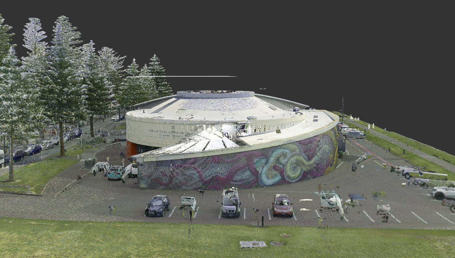
We used the Leica RTC360 scanner to perform high-resolution internal and external scans of Council-owned heritage assets.
This cutting-edge system achieved a scanning precision of approximately ±4mm, even across large and complex structures.
Photogrammetry techniques complemented the LiDAR data, ensuring detailed visual capture for model enrichment and heritage documentation.
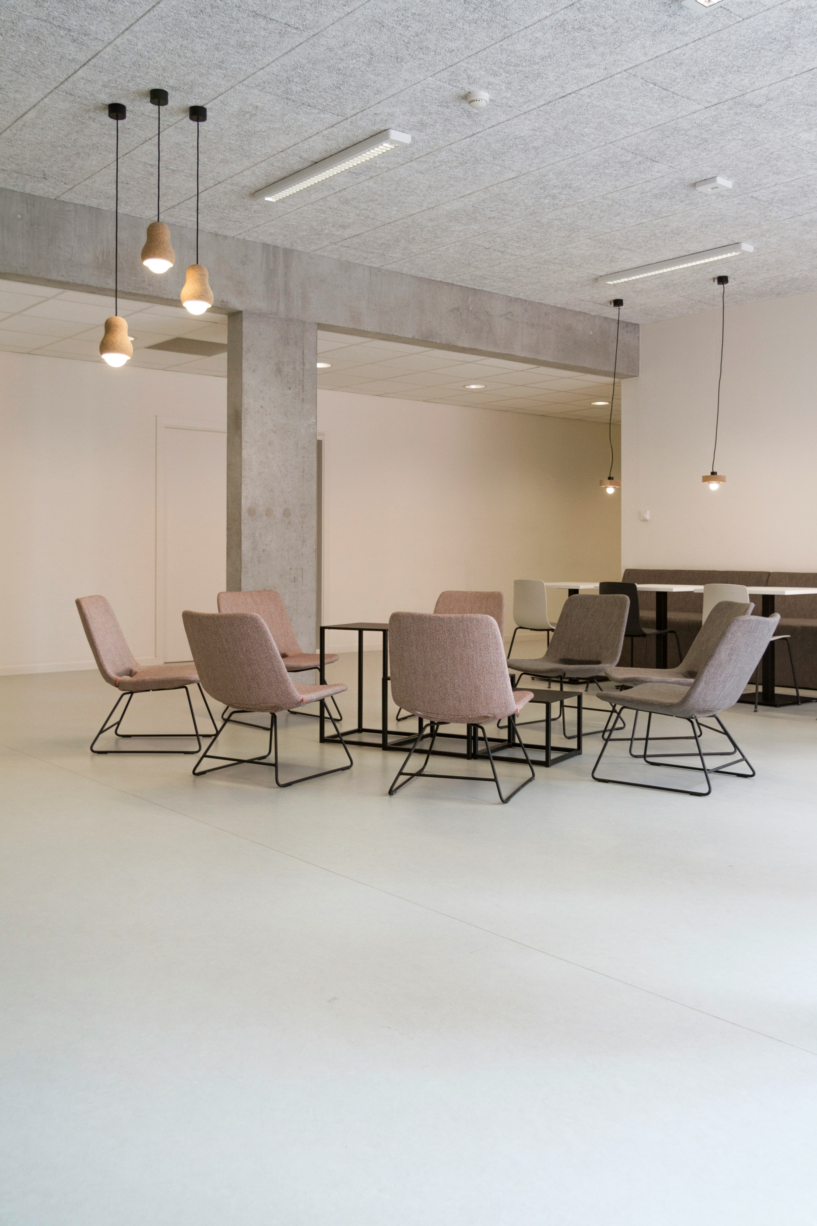
We specialize in creating spaces that speak volumes, integrating form and function in perfect harmony. With a focus on forward-thinking innovation and uncompromising precision, our services go far beyond the expected. Dive into a world where architectural excellence is seamlessly woven into each project, turning every design into a distinctive narrative.

We followed a multi-disciplinary BIM approach, creating individual, linked models for:
In the pursuit of harnessing HR data, addressing challenges such as data security, privacy concerns, and regulatory compliance is imperative. Implementing robust protocols to safeguard sensitive information and ensuring alignment with prevailing data protection regulations like GDPR or CCPA is non-negotiable.
At BIM Asset Lab, we go beyond basic scanning.
We ensure your 3D reality capture translates into fully integrated, geo-referenced, openBIM-compliant models — ready to support design, operations, asset management, and future digital twin initiatives.
Whether you're managing heritage assets, modern developments, or complex facilities, we deliver data that works for you — today and into the future.